
Access type
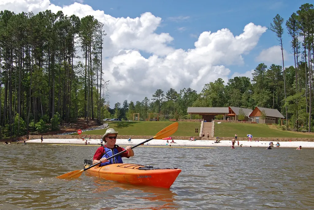
State-park equipment rental & public lake access. No advance rental-reservation process is published on the official park or trail page. Contact the park to confirm equipment, rental check-in and current launch access. A Georgia State Parks ParkPass is required for each vehicle.
Check-in or trailhead
5000 North Browning Bridge Road, Gainesville, GA 30506
The official paddle-trail descriptions begin at the kayak shack by the boat ramp. Dog Cove is an approximately 1-mile smooth-water route; Lost Cove is approximately 2 miles; Flat Island is approximately 3 miles; and Whale Tail is approximately 2 miles. Confirm the open launch and staff direction before unloading.
Season & current access
The park lists kayak, paddleboard and aquacycle rentals as seasonal but does not publish a fixed rental calendar on the park or trail page. Public Lake Lanier access remains subject to park hours, weather, water level and posted notices.
Age, skill & route requirements
The official pages do not publish a minimum age or self-rental skill requirement. Confirm age, waiver and PFD rules directly. Dog Cove and Lost Cove are described as smooth water; Flat Island and Whale Tail can have swift current after heavy rain, and Whale Tail crosses more open water.
Four self-directed paddle trails range from approximately 1 to 3 miles. This is public lake access and seasonal equipment rental, not a guided trip or shuttle. Choose the route for the group's ability and day-of wind, current, boat traffic and staff guidance; no live conditions are asserted here.
Fit it into a wine weekend
Paddle in the morning, return rental equipment, change, hydrate and eat before any Braselton, Flowery Branch, Milton or Cumming wine stop. Keep the route on one side of this large travel area rather than adding a long cross-region drive.
Official access or booking details ↗
- Official paddle-trail routes, distances and water character
- Official park address, seasonal rentals and current notices
- Georgia State Parks boating and rental guidance
- Official Don Carter trail map
Reviewed October 7, 2026. Use the official source for day-of access, conditions and availability.